|
|
|
|
 |
September 24, 2016
9 am
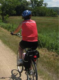
The Long Prairie Trail bisects northern Boone County by running from the Boone/McHenry County line through the villages of Capron, Poplar Grove, and Caledonia to McMichael Road in Winnebago County. It extends into the town of Roscoe as the Stone Bridge Trail. This is a wonderful rail-to-trail conversation through open farm land. A very flat trail that's easy to cycle. A great country trail (peaceful), away from the city and suburbs. We haven't cycled this trail in a few years since it is incorporated into the Round da Manure ride. So since that was rained out, I figured we could revisit this trail. We will stop for lunch at either the Brooklyn Deli, Burger King, or Subway in Roscoe so bring lunch money and a lock.
Starting Location:
From Schaumburg Area:
Take the Northwest Tollway (Jane Addams) 90 west (towards Rockford) to Route 20 exit.
Take Route 20 northwest to Route 23 in Marengo.
Take Route 23 north (Right turn) to Harvard.
Route 23 will merge with Route 14 in Harvard.
Go North (Left) on Route 14 about 1 mile to Route 173.
Take Route 173 West (Left) to Capron, IL
The bike path passes through the VERY SMALL town of Capron, IL (zip code 61012)
Take Route 173 (Main Street) to 4th Street.
Go South (left) on 4th Street 1 block to the bike trail.
Park anywhere on 4th Street.
| Distance: | 35 |
| Average Speed: | 10-13 |
| Leader: | Lynn Caldarola
(pldms@aol.com)
|
[Back to Events]
|
|
|
|